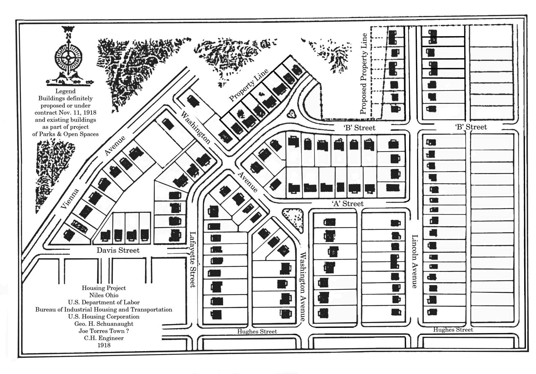
World War I Housing
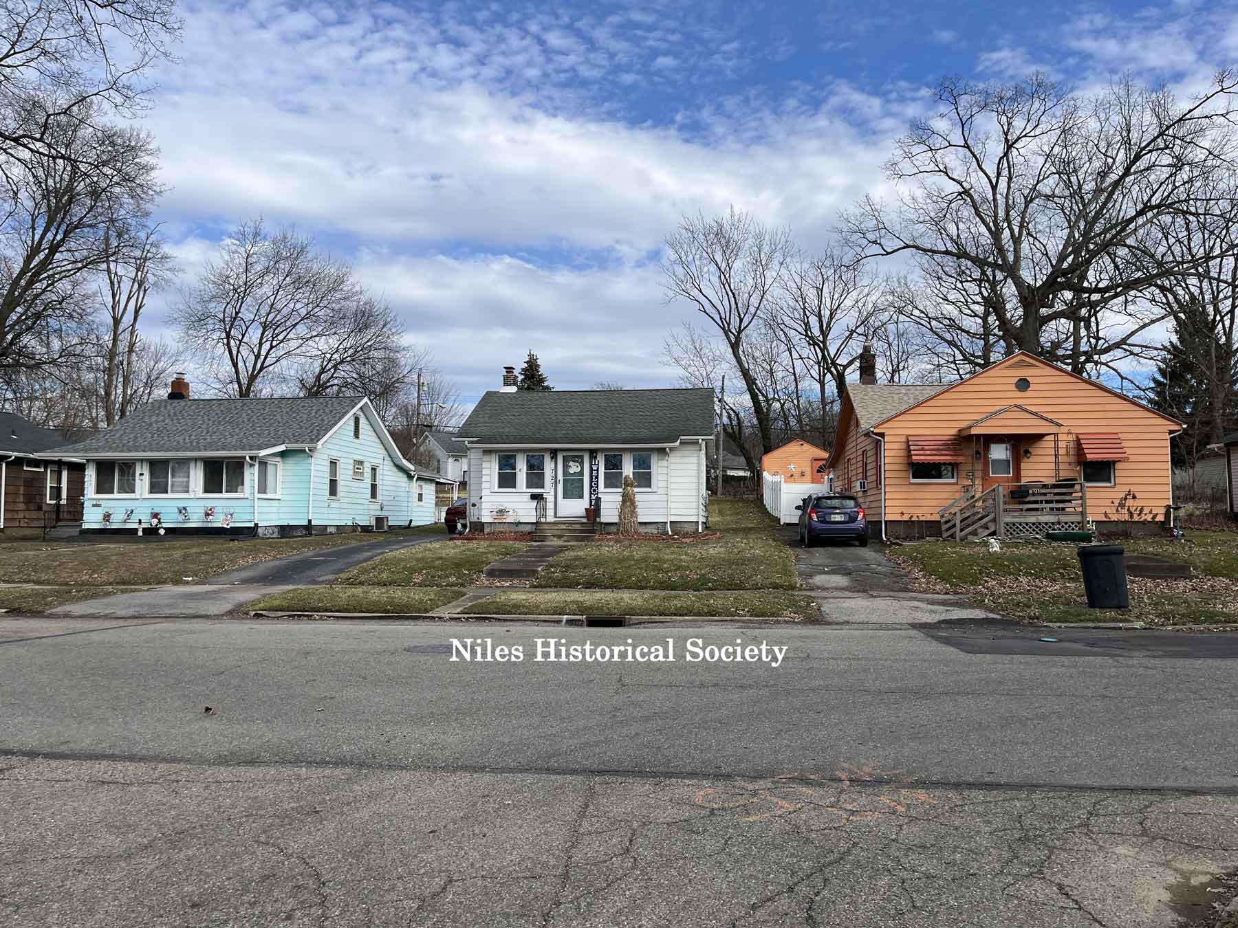
Houses on Lafayette Street near
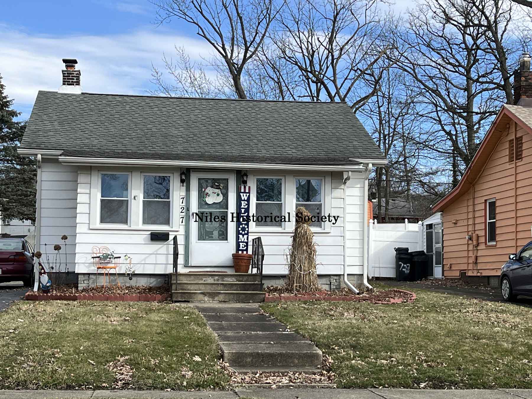
Close-up view of house on Lafayette Street.
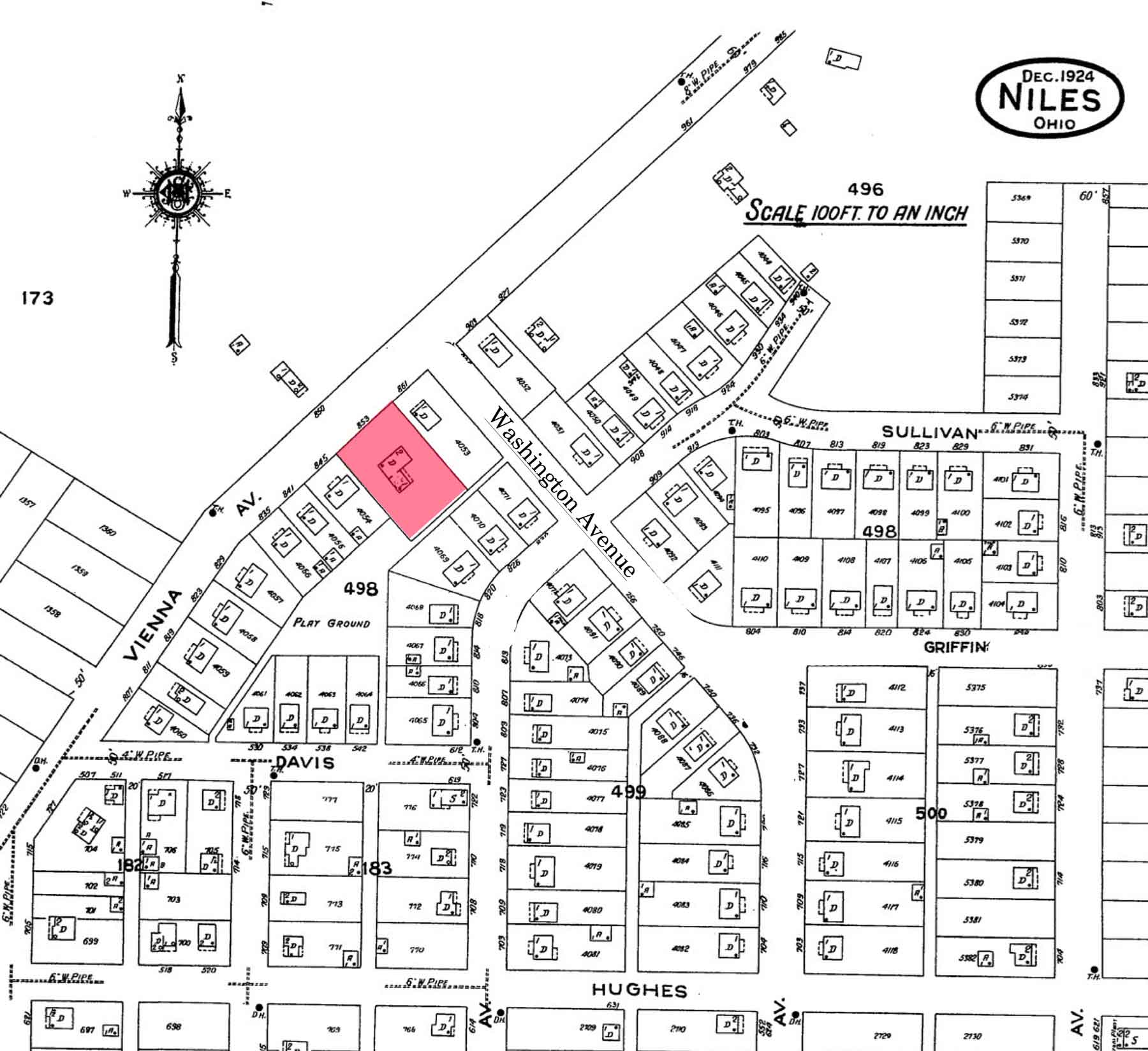
The 1924 map of the area involved with the Stein home property marked in red.
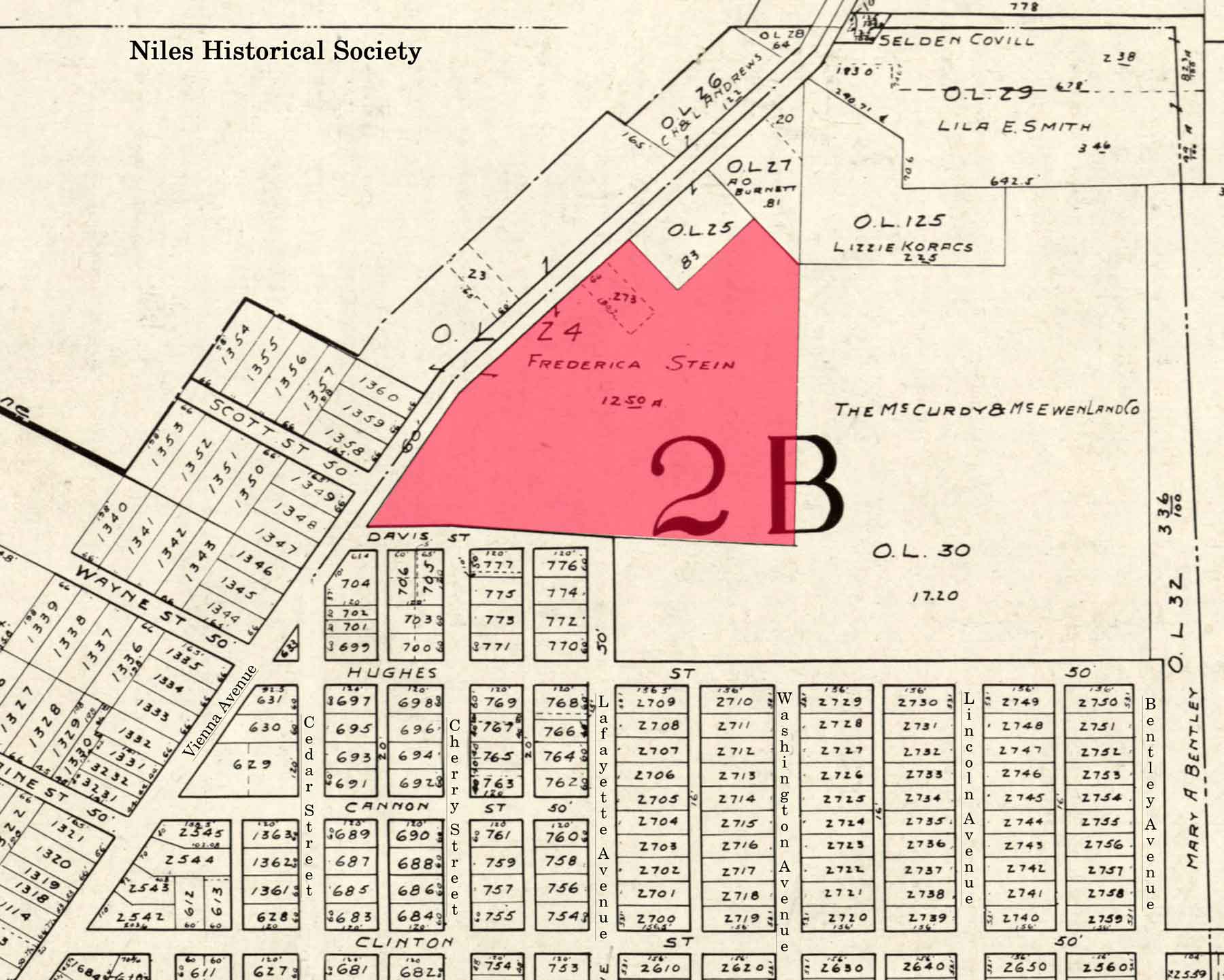
Map outlining the entire Stein property on which the Federal Government wished to build housing for the workers employed in vital war industries.
Open area surrounded by government houses would later become a city playground in 1955.
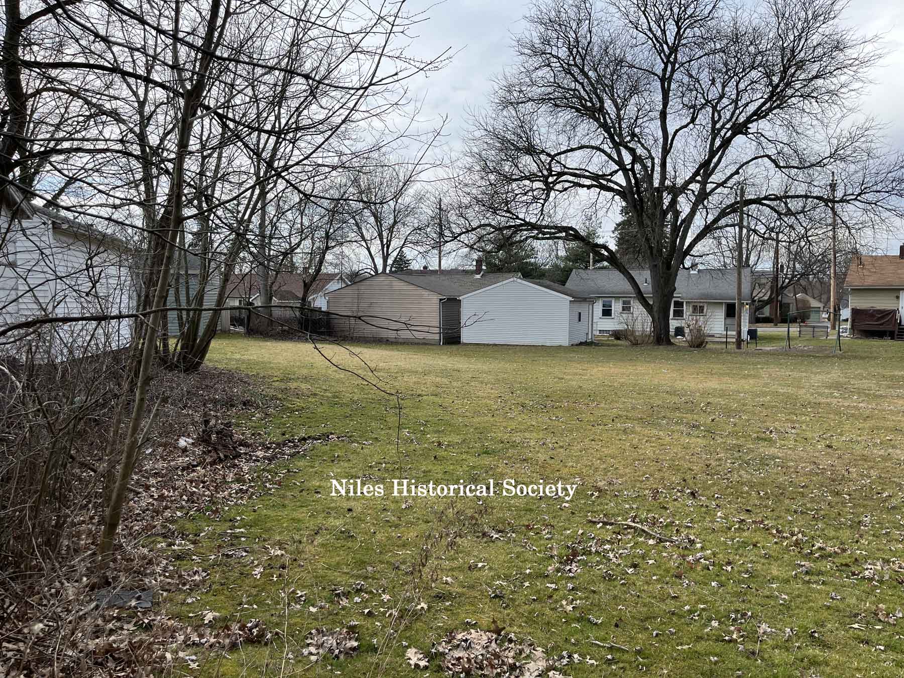
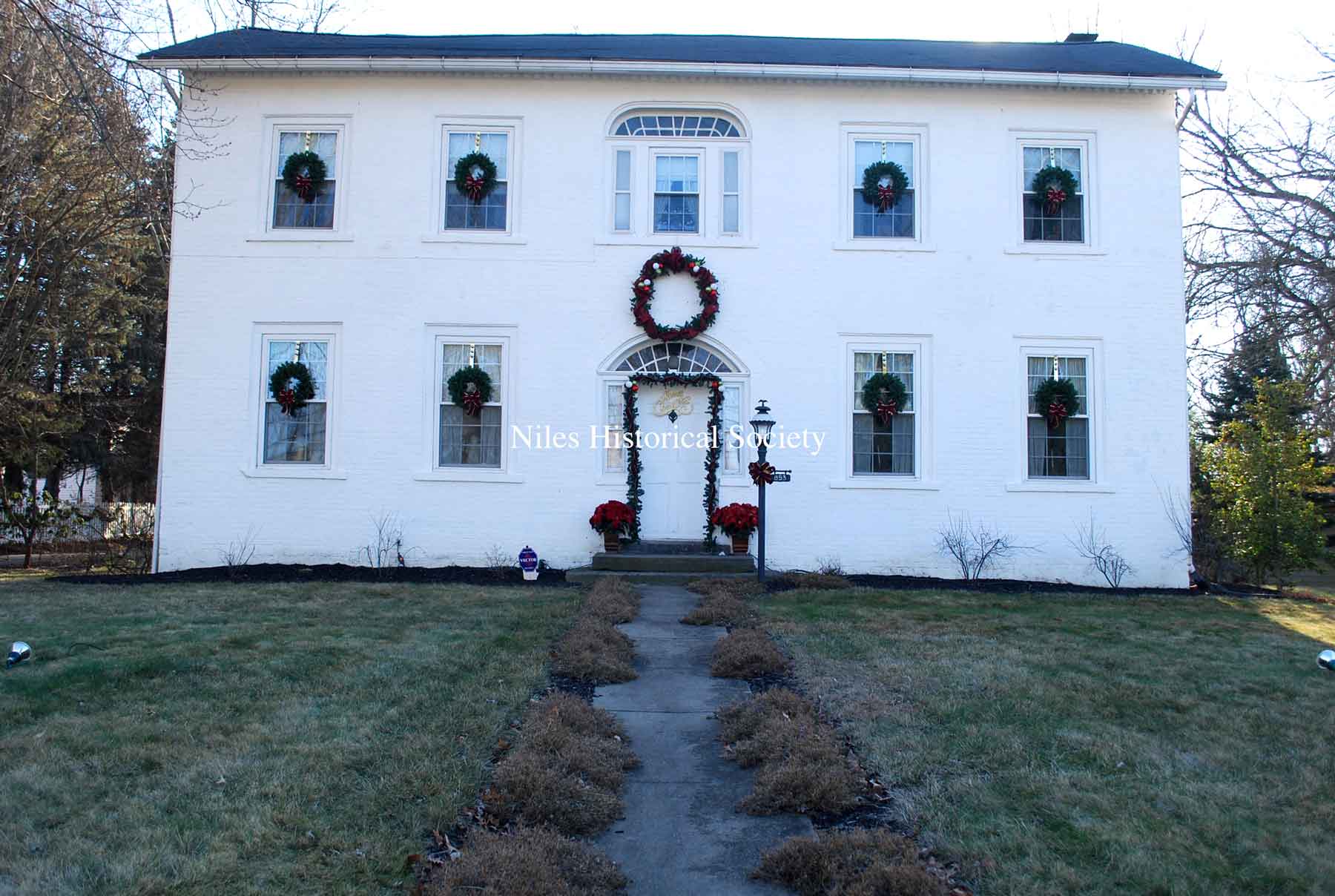
Present day(2024) view of former
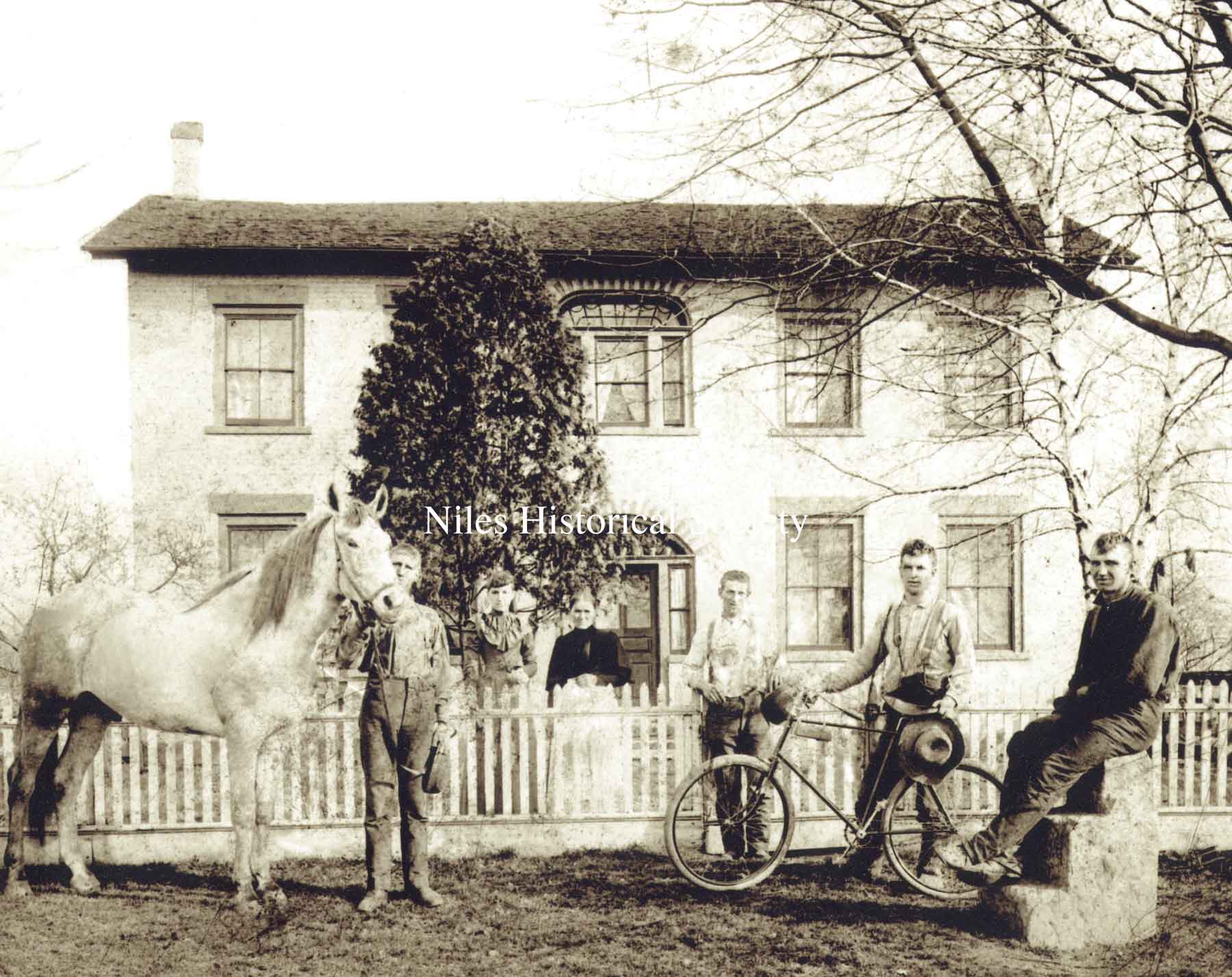
Stein family in front of home, ca 1905. PO7.112
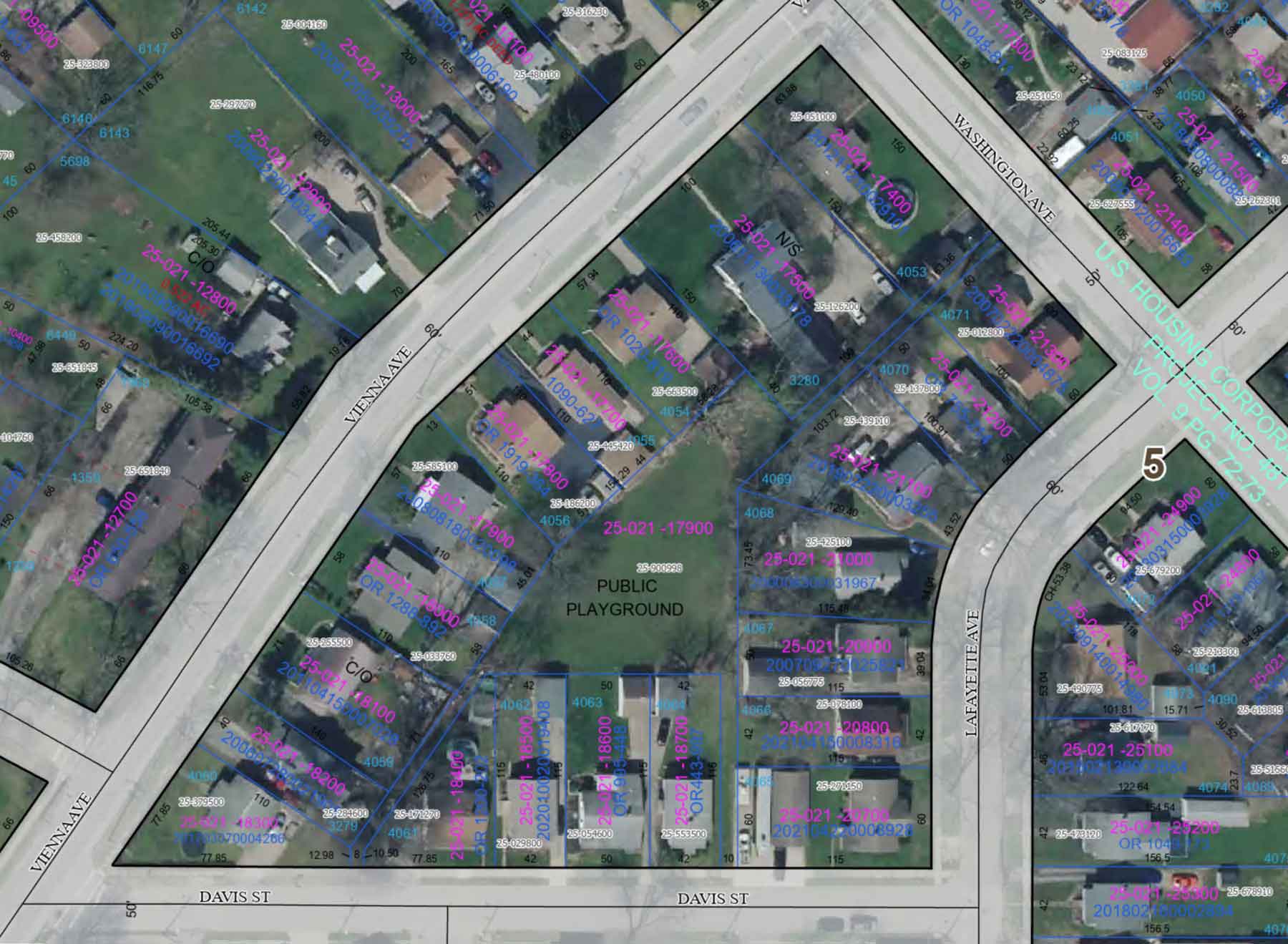
2024 aerial view of the Davis Street playground and the Stein residence.